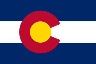
Colorado State Flag
State of Colorado
- State Capital » Denver
Facts
- Population » 5.8 million
Geography
- Area » 269,837 kilometres sqare (104,094 sq mi)
- Highest Elevation » Mount Elbert at 4,401.2 m (14,440 ft) (Map)
- Lowest elevation » Arikaree River at 1,011m (3,317 ft) (Wikipedia – Map)
Maps
Tourism
- Colorado Tourism
- Royal Gorge Bridge & Park » Forbes
Adventures
- Alpine Loop – National Backcountry Byway
- A 117.8 kilometre moderately trafficked loop trail located near Silverton. The trail is primarily used for scenic driving and ohv/off road driving and is best used from July until October.
- Colorado Tourism
- Bureau of Land Management
- AllTrails
- Great Sand Dunes National Park and Preserve (Map)
- Pike’s Peak Highway (Tourism)
- about 10 miles west of Colorado Springs
- SOTA » W0C/FR-004 (OSM)
- The Mount Evans Scenic Byway » which is the highest paved road in North America (US Forest Service)
- Climbs over 7,000 feet in its 28-mile length, reaching an altitude of 14,130′ feet.
- Idaho Springs, Colorado serves as the starting point to the byway.
- Lobo Overlook » k0nr
- near Wolf Creek Pass
Resources
This page was updated May 29, 2024


